The Cartography and Geographic Information Society (CaGIS) and the University Consortium for Geographic Information Science (UCGIS) held a joint CaGIS and UCGIS symposium in Columbus, Ohio, on June 3-6, 2024. The theme of the meeting was Climate Smart GIScience: Mapping a Sustainable Future. Click here for the conference program and abstracts.
Conference Theme
The conference theme of Climate Smart GIScience was described in the Call for Participation as follows:
“The climate crisis is the defining event of our time, and perhaps of the entire span of human civilization. As the globe continues to heat due to anthropogenic climate change, we will experience more extreme weather events, disruptions to our infrastructures and lives, human displacement and strains on society, governance and security. We will also witness increasing harms to terrestrial and aquatic ecosystems, including species migration and extinction. The geographic dimension of these events and impacts will not be uniform, and will depend on factors such as geography, demographics, resources and societal organization, with people of color and disadvantaged communities bearing the largest burdens. CaGIS and UCGIS invite you to join us in discussing how GIScience, cartography, and related disciplines can help mitigate the impacts of our changing climate and lead to a more sustainable future.”
Location and Venue
The Symposium was held in the Ohio Union on the campus of The Ohio State University in Columbus, Ohio. All symposia events were in this facility and catering was provided by the venue’s catering/event kitchen.

Plenary Speakers
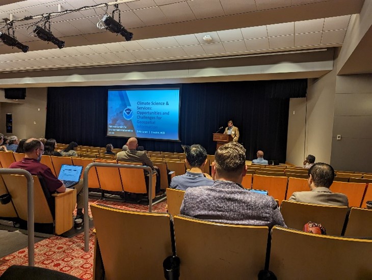
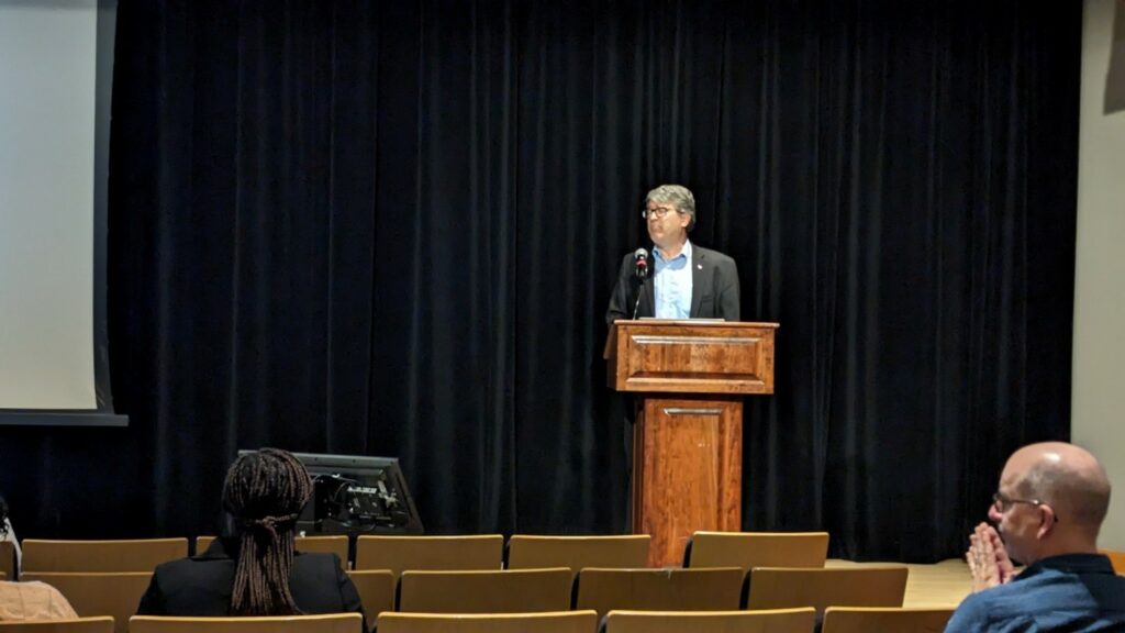
Two plenary speakers and a plenary panel opened each day of the Symposium. The plenary speakers were Derek Arndt, Director of the National Oceanic and Atmospheric Administration’s (NOAA) National Centers for Environmental Information (NCEI) and Dr. Virginia Burkett, Chief Scientist for Climate and Land Use Change, International Programs, U.S. Geological Survey.

Plenary Speakers Derek Arndt (NOAA NCEI) and Virginia Burkett (USGS)
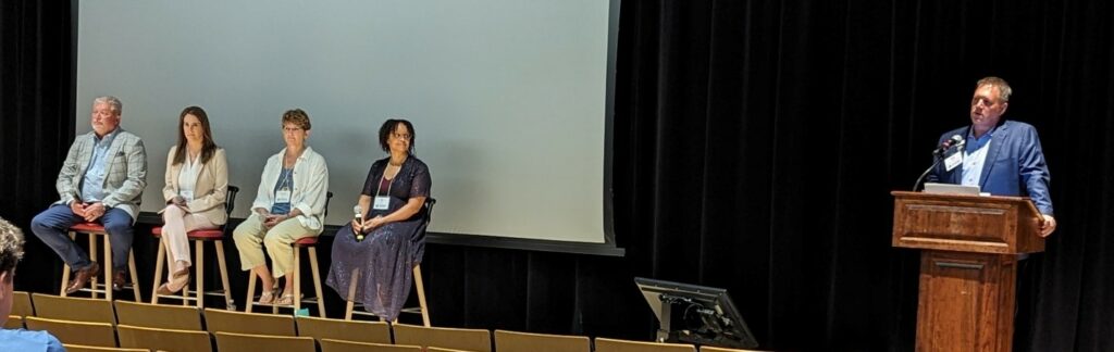
The plenary panel was titled, “Climate Change, Infrastructure and the Built Environment” and included panelists: Dr. Kevin McKeehan, Climate Resilience, Project Manager, HNTB; Brandi Whetstone, Mid-Ohio Regional Planning Commission, Associate Director of Sustainability; and Dr. Steven Quiring, StormImpact, Inc., Chief Scientist and Co-Founder; The Ohio State University, Professor, Climatologist.
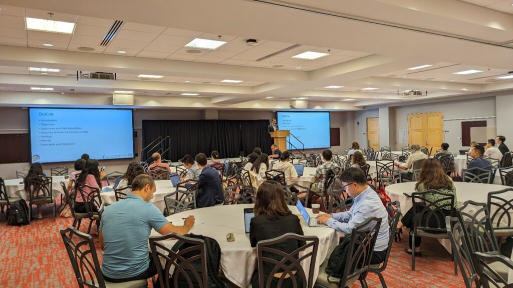
Technical Program
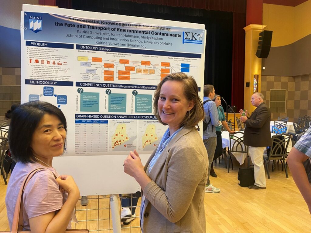
The Call for Participation supported multiple types of abstract submission for presentations at the symposium: 1500-word research abstracts and 1500-word vision statements for longer 20 minute presentations, and 500-word abstracts for 10 minute lightning talk or poster presentations. The call for participation yielded 20 extended research abstracts, 4 vision statements, and 40 shorter abstracts for lightning talks or posters. All abstracts were reviewed by at least two reviewers. Based on review scores, and final registrations of authors, the program committee selected 14 research papers and three vision statement abstracts for the longer format presentations, while all other submissions were recommended for lightning talks or posters. The final program had 13 research papers, 3 vision statements, 21 lightning talks and 18 posters, since some authors could not ultimately attend due to changes in their travel plans. Six research papers, six lightning talks and 10 posters were presented by students, representing about 42 percent of presentations (excluding vision statements).
Panel Sessions/Roundtable Discussions
In addition to paper and poster sessions, there were several panel sessions/roundtable discussions. This type of session is a feature of UCGIS Symposia. Topics for these sessions ranged from Workforce Development to Climate Smart Growth for Organizations to topics specifically tailored to the UCGIS membership such as Professional Development and Mentorship; K-16 Pathways in Geospatial Education.
International Cartographic Association Regional Cartographic Conference
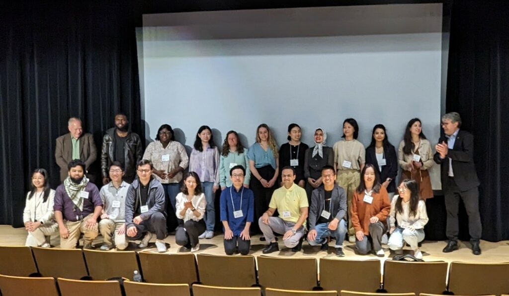
Conference organizers submitted a proposal to the International Cartographic Association (ICA) to have the meeting recognized as a Regional Cartographic Conference (RCC). This designation carries several benefits, including having the conference advertised on the ICA website, gaining recognition by the ICA community for best practices in terms of planning and allowing student participants to apply for travel scholarships to attend. The RCC proposal was accepted and as a result 24 travel scholarships were awarded. In addition, ICA President Georg Gartner attended and provided conference attendees with information about the mission of the ICA and the upcoming International Cartographic Conference in Vancouver, British Columbia in 2025.
Summary of Attendees
There were 122 attendees including 92 members of either UCGIS or CaGIS. Thirty-five attendees registered as students.
CaGIS Board Meeting
The CaGIS Board took advantage of being together in Columbus to hold our Spring Board Meeting. Part of our discussion included discussion of lessons learned for this conference and planning for a 2026 CaGIS Conference.