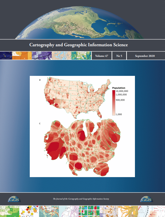
Cartography and Geographic Information Science (CaGIS) is the official publication of the Cartography and Geographic Information Society. The CaGIS journal serves as a forum for the exchange of original concepts, techniques, approaches, and experiences by those who design, implement, and use geospatial technologies through the publication of authoritative articles and international papers.
Archives of the International Symposium on Computer-Assisted Cartography (AutoCarto)
are available here.

CaGIS has partnered with the ASPRS to create GeoBytes – live webinars that focus on a variety of topics, including cartography, geographic information science, and remote sensing.
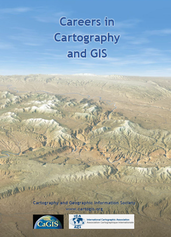
CAREERS IN CARTOGRAPHY AND GIS
This free brochure for students who may be considering a career in the mapping sciences was created by CaGIS for education and outreach efforts.