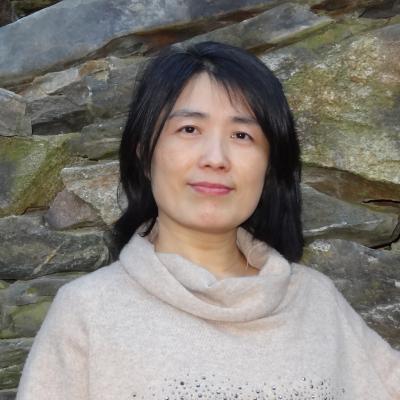
It is with great pleasure that we announce that Xiaobai Angela Yao (University of Georgia) has been elected as Vice President of CaGIS, and Gaurav Sinha (Ohio University) has been elected to the Board of Directors. Both will begin their terms of service at the Spring meeting of the Board of Directors. Congratulations Angela and Gaurav, and thank you for your service to CaGIS.

Xiaobai Angela Yao has been a devoted member of the GIScience and Cartography community. Her current services in the discipline include serving as chair of the International Cartographic Association (ICA) Commission on Geospatial Analysis and Modeling (2015 – 2023) and as a director on the Board of Directors of the University Consortium of Geographic Information Science (UCGIS) (2020-2023). Previously, she also served on a few committees of AAG and SEDAAG, and as a board member of the International Association of Chinese professionals in GIScience (CPGIS). To fulfill responsibilities in these leadership roles, she has regularly organized or co-organized international symposiums, workshops, and other professional activities in the past decade. She also edited research volumes, guest-edited journal special issues, and served as a referee for dozens of journals and as a panelist for the National Science Foundation.

I am an Associate Professor in the Department of Geography, Ohio University. I have published on a broad swath of GIScience topics, but I am most attracted to spatial cognition and geospatial ontology and applying such knowledge for computational representation of both common sense and geoscientific concepts of the landscape. My academic service record has been rather standard so far: serving as reviewer for many journals and on the conference committees for GIScience, COSIT, Auto Carto and FOIS conference series. I am now seeking additional and more complex professional service opportunities to make diverse and more long-term contributions to the geospatial information science community.
