Opening Session Speakers

Jack Dangermond
President, Esri
A landscape architect by training, Jack Dangermond founded Environmental Systems Research Institute (Esri) in 1969 in Redlands, California, with a vision that computer mapping and analysis could help design a better future. Under Jack’s leadership, that vision has continued to guide Esri in creating cutting-edge GIS and Geodesign technologies used in every industry to make a difference worldwide.
Jack fostered the growth of Esri from a small research group to an organization recognized as the world leader in GIS software development. Esri employs more than 4,000 people worldwide; many who shared his passion for GIS in the early days are still with the company and remain dedicated to helping our users be successful.
Jack’s vision for Esri goes beyond building the leading GIS technology. He keeps the company mindful of global challenges and the needs of specific industries. The ongoing drive is to engineer ArcGIS to aggregate and integrate increasing quantities of data, to visualize and analyze the data to gain holistic understanding, and to help individuals and organizations make impactful evidence-based decisions.

Clint Brown
Director of Software Products, Esri
Clint Brown has been at Esri since 1983. During that time, he has pursued a passion for GIS-based best practices and guidance that enable our users to make a difference in our world by effectively applying GIS. Through the years, he has led these efforts as the Director of Product Engineering at Esri.
He has established and grown a division of hundreds of applied GIS analysts and practitioners, app developers, cartographers, educators, data scientists, writers, and story tellers―all of whom share a passion for enabling hundreds of thousands of organizations worldwide that use ArcGIS tools and technology to support the effective application of GIS in virtually all aspects of human endeavor.
His teams also work directly with Esri’s ArcGIS Development teams to build and engineer the comprehensive ArcGIS system. In addition, his teams envisioned and continue to develop Story Maps, the Living Atlas of the World, and Learn ArcGIS, through which they provide guidance on best GIS practices. Most recently, his teams are providing leadership on the implementation of Community and Collaborative GIS.

Tim Trainor
President, ICA
Tim Trainor currently serves as president of the International Cartographic Association (ICA). He is also a part-time consultant to the United Nations (UN) and is the former chief geospatial scientist for the U.S. Census Bureau.
Tim has extensive experience in cartographic and geospatial topics that include exploring methodological, technical, and substantive issues relating to cartography and the collection, management, and integration of geospatial information. He has served as co-chair for the UN Committee of Experts on Global Geospatial Information Management and as head of the U.S. delegation to that committee. He was the senior agency official for geospatial information for the U.S. Department of Commerce and was an executive member of the U.S. Federal Geographic Data Committee.
In addition to the ICA, Tim is involved with several professional associations, including CaGIS. Tim has participated in every ICA conference since 1987, at which time he joined the ICA Commission on Atlases. He became Commission Chair in 1995 and remained active until he was elected as a Vice President of the ICA from 2007–2015. He is President of the ICA for the 2019–2023 term.
Plenary Keynote Speakers
Plenary Session on Ethics in Mapping: Inclusion

Christine Luckasavitch
Executive Director, Native Land Digital
Christine Luckasavitch is an Omàmìwininì Madaoueskarini Anishinaabekwe (a woman of the Madawaska River Algonquin people), belonging to the Crane Clan, and mixed settler heritage. Christine continues to live in her ancestral territory, much of which is now known as Algonquin Park, Ontario, Canada.
Christine is the Owner/Executive Consultant of Waaseyaa Consulting and Waaseyaa Cultural Tours, the co-owner of Algonquin Motors, and she is currently studying for her Master of Arts in Indigenous Studies at Trent University.
Christine is also the Executive Director of Native Land Digital, an Indigenous-led not-for-profit dedicated to providing a digital platform for indigenous peoples to share knowledge about their indigenous cultures, territories, and knowledge systems across the world.
Her work is centered around creating spaces for indigenous peoples to share their knowledges, both in physical and digital spaces, and encouraging the re-emergence of ancestral kinship ties.
Plenary Session on Ethics in Mapping: Integrity

Liqiu Meng
Professor of Cartography
Technical University of Munich
Dr. Liqiu Meng is a professor of Cartography at the Technical University of Munich (TUM) in Munich, Germany. She obtained her doctoral degree in geodetic engineering at Hanover University, Germany in 1993 and worked as a senior lecturer for cartography at Gävle University in Sweden (1994–1996). She then became a senior GIS consultant for SWECO in Stockholm, whilst also teaching at the Royal Institute of Technology (KTH) (1996–1998).
Following her professorship qualification at the KTH in the field of geoinformatics in 1998, she took up in the same year the chair professorship at TUM and later served as Senior Vice President of TUM (2008–2014). She initiated the international master’s program “Cartography” in 2011, which is jointly run by TUM, Technical University of Vienna, Technical University of Dresden, and University Twente. Her recent research interests include geodata integration, multimodal navigation algorithms, high-definition (HD) mapping, map-based open portal for climate events, and ethical issues in cartography.
She is a member of the German National Academy of Sciences, served as senator in the Helmholtz Association of German Research Centers, and was deputy chairperson in the Senate of German Aerospace Center. She currently serves as a Vice President of the ICA and is responsible for advancing the new research agenda.
Plenary Session on Ethics in Mapping: Empathy

Trisalyn Nelson
Professor, Department of Geography
University of California – Santa Barbara
Since 2020, Dr. Trisalyn Nelson has been the Jack and Laura Dangermond Endowed Chair of Geography in the Department of Geography at the University of California in Santa Barbara. From 2016–2020, she was Director of the School of Geographical Sciences and Urban Planning at Arizona State University. Prior to that appointment, she was the Lansdowne Research Professor and Director of the Spatial Pattern Analysis and Research Lab at the University of Victoria.
As a researcher, Trisalyn and her team develop and apply spatial and spatial-temporal analyses to address applied questions in a wide range of fields from ecology to health. She has studied mountain pine beetle infestations, grizzly bears, and environmental change. Currently, her research focuses on active transportation, and the use of big data and analytics to better plan cities.
Trisalyn led the creation of BikeMaps.org, a web-map and app to gather volunteered geographic information on cycling collisions and near misses. With her team, she has developed new ways of using fitness app data (like Strava) to create maps of bicycling volume useful for transportation planning. Trisalyn uses BikeMaps.org, and other big data to quantify and monitor patterns of urban cycling safety and ridership.
Plenary Panelists
Plenary Session on Ethics in Mapping: Inclusion
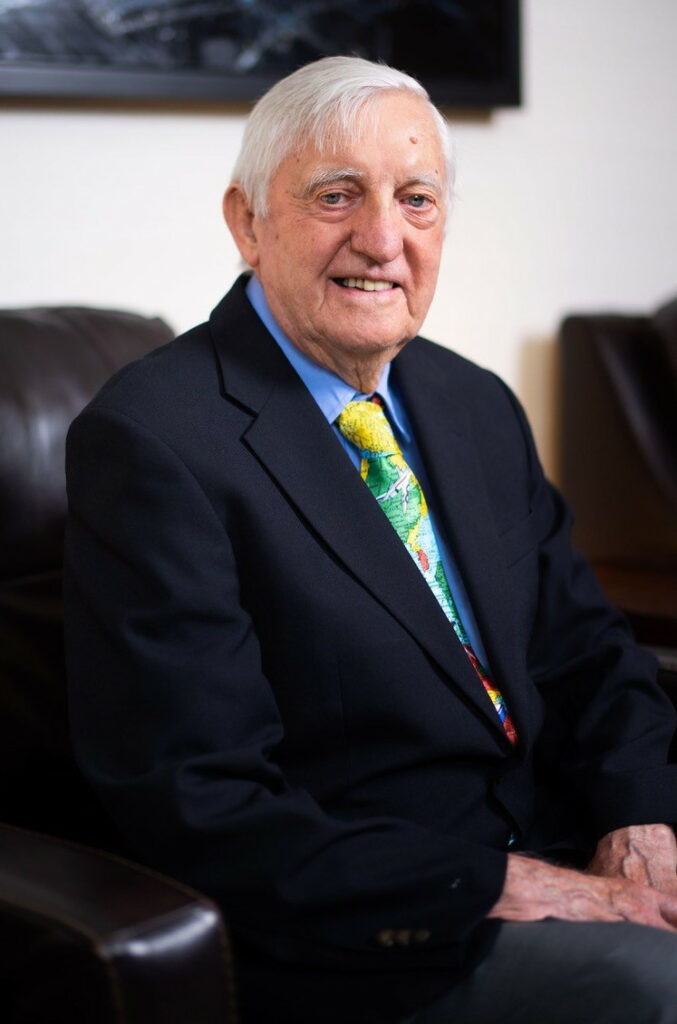
D. R. Fraser Taylor
Chancellor’s Distinguished Research Professor
Geomatics and Cartographic Research Centre
Carleton University
Dr. D. R. Fraser Taylor is the Chancellor’s Distinguished Research Professor and Director of the Geomatics and Cartographic Research Centre (GCRC) in the Department of Geography and Environmental Studies at Carleton University in Ottawa, Canada. In December 2021, he was appointed Officer of the Order of Canada.
A cartographer and award winner of international renown, his current research is focused on developing the field of Cybercartography, which he first defined in 1997. Established in 2003, GCRC undertakes extensive research and publication, technological development of the Nunaliit digital atlas mapping framework, and national and international inter-disciplinary project development with academic institutions, Indigenous communities, and others. A field of current focus includes language mapping and the reclamation and preservation of Indigenous languages and place names.
His most recent books are Developments in the Theory and Practice of Cybercartography: Applications and Indigenous Mapping, Elsevier (2014) and Further Developments in the Theory and Practice of Cybercartography: International Dimensions and Language Mapping, Elsevier (2019).

Vanessa Knoppke-Wetzel
Associate Director, GreenInfo Network
Director at Large, NACIS
DC Meet Director, Pull for Pride
Vanessa Knoppke-Wetzel (she/her) has worked in the federal government, non-profits, tech industry, and higher education. She currently is the Associate Director of GreenInfo Network; Director at Large for the North American Cartographic Information Society (NACIS), where she chairs the Diversity, Equity, and Inclusion Committee; an Alumni Mentor for University of Wisconsin-Madison’s SuccessWorks; and the 2022 Washington D.C. Meet Director for Pull for Pride. She also is the founder of #creativeCarto, and one half of URhere podcast.
Vanessa is a detail-oriented cartographer; designer, analyst, educator, and community-builder who loves thinking about how to create and design products and utilize spatial data to tell visual stories in the best way possible. She also cares a lot about cultivating, building, and growing community (anywhere), which has led to her dedicating a lot of her free time in the last decade to giving talks, hosting workshops, and volunteering in the spatial world. She firmly believes everyone can become a better analyst, designer, and storyteller—even if they never have been in the spatial industry.
Vanessa also does non-mappy things: you can find her lifting weights, running, or enjoying the outdoors when not doing the above.
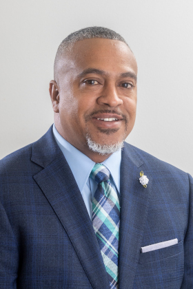
Reginald Archer
Associate Professor of Applied GIS
Tennessee State University
Dr. Reginald Archer is an Associate Professor of Applied GIS in the Department of Agricultural and Environmental Sciences at Tennessee State University (TSU) in Nashville, Tennessee. He seeks to put TSU on everyone’s map with his research and teachings in Geographic Information Systems/Science and Remote Sensing.
He applies these technologies to analyze spatial data, and he uses the “science of where” to conduct research, specifically environmental change related to sustainability, public health, hazards, vulnerability, disaster recovery, and environmental justice. He directs the Geospatial Research and Analysis Lab (GRAAL) and the GIS certificate program at TSU.
Reginald actively engages in campus-wide activities to increase STEM participation and is a Lifetime Member of the National Society of Black Engineers (NSBE) and a TSU Chapter advisor, as well as an advisor for the Minorities in Agriculture, Natural Resources, and Related Sciences (MANNRS) chapter. He is 2nd Vice President of the National Association of Geoscience Teachers (NAGT) and a member of the Historically Black College University (HBCU) Geosciences working group. Reginald is dedicated to increasing the number of underrepresented students in STEM and regularly participates as a mentor in programs such as Tennessee Achieves and STEM-related summer camps.
Plenary Session on Ethics in Mapping: Integrity

Nadine Alameh
CEO, Open Geospatial Consortium
Dr. Nadine Alameh is the Chief Executive Officer (CEO) of the Open Geospatial Consortium (OGC)—a collective problem-solving body convening the global community of geospatial experts and users to make location information Findable, Accessible, Interoperable, and Reusable (FAIR) via open consensus-based standards, collaborative innovation projects, and industry partnerships.
Nadine is a recognized leader in creating and applying open geospatial/mapping standards in a multiple of domains including Aviation, Earth Observations, Public Safety, and Defense. Prior to OGC, she held various roles in industry from the Chief Architect for Innovation in Northrop Grumman’s Civil Solutions Unit; to CEO of an Aviation data exchange startup; to senior technical advisor to NASA’s Applied Science Program.
Nadine is a recently appointed member of the U.S. National Geospatial Advisory Committee (NGAC) and sits on the board of the UN Committee of Experts on Global Geospatial Information Management (UN-GGIM) Private Sector Network. Nadine was awarded the Geospatial World Diversity Champion of the Year award in 2022 and the Geomatics Canada Diversity Leadership Award in 2019.
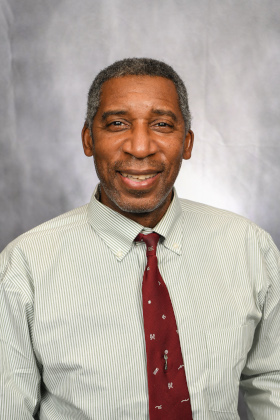
David A. Padgett
Associate Professor of Geography
Director, GISc Laboratory
Tennessee State University
Dr. David A. Padgett is Associate Professor of Geography and Director of the Geographic Information Sciences (GISc) Laboratory at Tennessee State University (TSU) in Nashville, Tennessee. He has served as the Global Learning and Observations to Benefit the Environment (GLOBE) Partner and Trainer for TSU since 2001.
Since establishing the GISc Lab in 2000, David has supervised several undergraduate research assistants on a variety of service learning projects, including community-based GPS mapping to improve public transit accessibility, GIS-supported homeless population mapping, and GIS mapping of Nashville’s Red Cross emergency shelters.
Since 1992, David has been the Owner and Chief Consultant of GEO-Mental, a multi-faceted environmental consulting firm. He was awarded the American Association of Geographers 2019 Presidential Achievement Award for “significant contributions in advancing geography, GIS,and STEM education within the Historically Black College and University,” The same year he was named an EthicalGEO Fellow by the American Geographical Society in support of his project “Democratizing Geospatial Technology: A Model for Providing Technical Assistance in Community Based Participatory Mapping to Environmental Justice Stakeholder Communities.”

Bo Zhao
Associate Professor of Geography
University of Washington
Dr. Bo Zhao is Associate Professor in the Department of Geography at the University of Washington (UW) in Seattle, Washington, where he also directs the Humanistic GIS Laboratory (HGIS Lab). Prior to his position at UW, Bo was Assistant Professor at Oregon State University after completing a Postdoc at the Harvard Kennedy School of Government.
Bo ’s research lies at the intersection of GIScience and Human Geography. He has developed a unique humanistic approach to examining GIScience and technologies, especially for the interests of vulnerable populations, such as refugees displaced by climate change effects or LGBTQ+ communities in repressive national contexts. Bo studies how geospatial data streams from social media are used in high profile social and political struggles, looking, for instance, at “location-spoofing” by activists—like indigenous groups involved in territorial struggles—or by reactionary groups agitating over “fake news.”
His recent work on deepfake geography urges GIScientists to develop coping strategies to the ambivalent nature of GeoAI in the age of “post-truth.” The research framework of his recent studies has been funded by NSF, NIH, National Geographic, Samsung, and Google.
Plenary Session on Ethics in Mapping: Empathy

Sam Stehle
Data Scientist, Center for Analytics
U.S. Department of State
Dr. Sam Stehle is a data scientist at the U.S. Department of State’s Center for Analytics. He develops interactive dashboards and analytical products with machine learning, and he improves data management policies with bureaus across the State Department. This includes work in cybersecurity, Eurasian and Asia Pacific Affairs, and diversity, equity, accessibility, and inclusion (DEIA) efforts.
Previously, Sam worked in the Federal Emergency Management Agency where he managed spatial data and GIS projects; analyzed demographic and hazard risk indices to contribute to ongoing equity projects; and worked logistics for the Maryland COVID-19 vaccination mission.
Before joining the civil service, Sam was a postdoctoral researcher with the National Centre for Geocomputation at Maynooth University in Ireland. His work on Building City Dashboards included real time data analysis, data quality assessment for official statistics, and virtual reality and 3D representation.

Clinton Johnson
Lead, Racial Equity & Social Justice
Unified Team at Esri
Founder & Executive Director, NorthStar of GIS
Clinton Johnson leads the Racial Equity & Social Justice Team at Esri. At Esri, he connects individuals and organizations from all sectors with geospatial data, technology, and methodologies to advance equity at the intersection of all systems of oppression.
Clinton also founded and leads NorthStar of GIS, a 501(c)(3) nonprofit organization advancing racial justice, equity, and belonging for people of the Black and Black African diaspora in GIS, geography, and STEM. This employee community is focused on increasing representation, inclusion, and belonging for people of African descent in GIS. He is also an advocate for belonging and equity for people from underrepresented groups in GIS and STEM more broadly.
Clinton remains focused on innovation for and through collaboration, community, and compassion throughout all of his work.
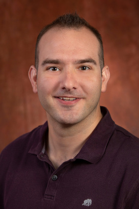
Mathew Hauer
Assistant Professor of Sociology
Florida State University
Dr. Mathew Hauer is an Assistant Professor of Sociology and a faculty affiliate in the Center for Demography and Population Health at Florida State University (FSU) in Tallahassee, Florida. His expertise lies at the intersection of demography, migration, population projections, and climate change.
Mathew’s research focuses on how migration induced by sea level rise could reshape U.S. population distribution. More than 270 media outlets have covered his research. His work has been featured in The New York Times, National Geographic, Time Magazine, Popular Science, USA Today, and The Washington Post, among others. His recent review article on Sea Level Rise and Human Migration describes one of the most costly and permanent consequences of climate change.
Before joining the faculty at FSU, Mathew spent eight years directing the Applied Demography Program at the University of Georgia where he provided valuable demographic research to local, state, and federal governments.


