AI-driven geospatial workflows are increasingly vulnerable to threats and bias that undermine the trustworthiness of spatial knowledge at every stage of the loop. This panel will examine how and where trust breaks down — whether through inadvertent misinformation, black boxes, or the unseen propagation of algorithmic bias across spatial and analytic scales — and what the consequences have been for practitioners, policymakers, and the public who depend on geospatial outputs. Discussion will reflect on the deeper epistemological and practical stakes of eroding trust: when AI mediates the production of spatial knowledge, do spatial professionals need to fight increasing distrust, or does it erode our ability to distrust in the first place?
Panelists:
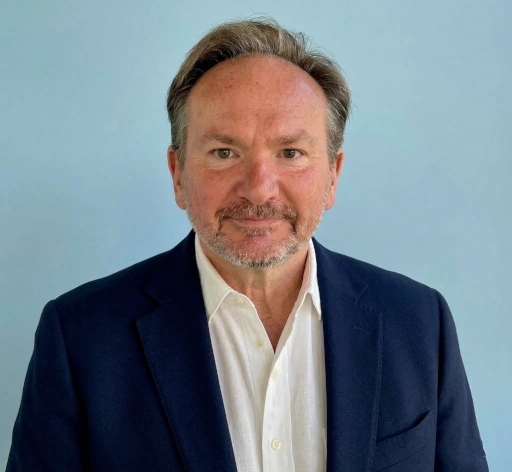
Mark Munsell leads GeoSTL, a non-profit effort to expand the geospatial technology ecosystem in St. Louis, MO. Previously, he held jobs as the National Geospatial-Intelligence Agency’s Chief Artificial Intelligence Officer, Director of Digital Innovation, NGA’s Chief Technology Officer and the Deputy Director of the Chief Information Officer – IT Services Directorate, where he managed a multi-billion dollar development budget. In all of these roles, Mark facilitated innovative development aimed at transforming and modernizing software engineering and artificial intelligence technology to better serve its mission partners, as well as overseeing and streamlining IT-related capabilities and services.
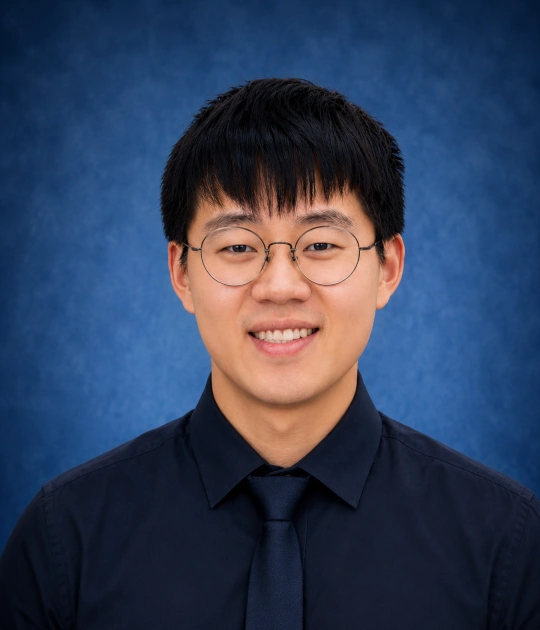
Dr. Peng Luo is a tenure-track Assistant Professor of GeoAI in the School of Earth, Environment, and Sustainability at the University of Iowa. Prior to this, he was a postdoctoral researcher at the MIT Senseable City Lab and earned his Ph.D. from the Technical University of Munich. His research focuses on Trustworthy GeoAI, with interests in spatially explicit modeling, geospatial explainable AI, uncertainty quantification for GeoAI models, and multi-agent GeoAI. He aims to develop reliable geospatial artificial intelligence methods to address complex environmental and urban challenges.
Mr. Patrick Ellis serves as the Senior GEOINT Officer for Cartography in the National Geospatial-Intelligence Agency’s Office of Geography. In this role, he advises on analyst tradecraft, production standards, and innovation to enhance GEOINT capabilities. Over a 21-year career with NGA, Mr. Ellis has led portfolios in cartography and human geography. He has served as NGA’s liaison to the United States Agency for International Development, supporting international development initiatives and humanitarian disaster relief efforts. His current focus includes developing automated cartographic capabilities to meet global requirements, while ensuring NGA map products maintain the precision, safety and security essential for warfighters and policymakers. Mr. Ellis is a graduate of the Department of Defense Executive Leadership Development Program and holds a B.S. in Geography from the University of Maryland, Baltimore County.
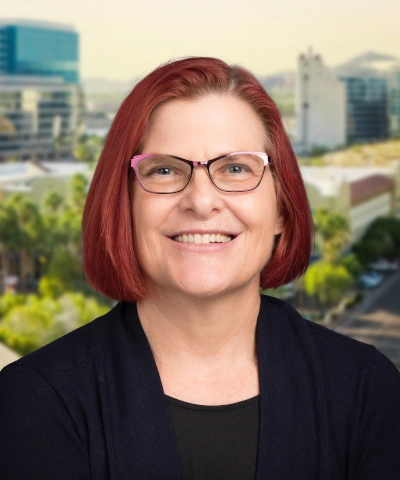
Dr. Stephanie Deitrick is the Chief Data & Analytics Officer for the City of Tempe, Arizona, where she has spent over a decade building the governance frameworks and data infrastructure behind the city’s use of GIS, open data, and AI. She created and leads Tempe’s AI governance review process, evaluating both vendor AI tools and departmental AI use cases, and brings recommendations, including recommendations against adoption on security or risk grounds, to the city’s governance committee for decision.
Dr. Deitrick is Vice President of the Cartography and Geographic Information Society, a U.S. Government Representative to the International Cartographic Association, and Assistant Clinical Professor in the School of Geographical Sciences and Urban Planning at Arizona State University.
Effects of geospatial automation on decision-making
As AI and ML tools become embedded in professional GIS workflows, practitioners face difficult tradeoffs of efficiency and interpretability. This panel will focus on how geospatial automation is changing the daily practices of decision-making. How does the automation of geospatial analyses change how the outputs are communicated to make decisions and inform the public? The discussion will address practical challenges practitioners encounter around model explainability, interpretation, and maintaining quality and integrity in AI-assisted outputs.
Panelists:
Samantha T. Arundel, Ph.D., is Director of the Center of Excellence for Geospatial Information Science and Senior Advisor for Research in the U.S. Geological Survey’s National Geospatial Program. Her work focuses on advancing national geospatial infrastructure through artificial intelligence, automation, and large-scale data integration, including efforts to embed AI within The National Map. She chairs the International Cartographic Association Commission on GeoAI and leads the U.S. Federal GeoAI Community of Practice, helping coordinate research and collaboration across government, academia, and industry. Her research connects scientific innovation with operational mapping systems that support natural hazard response, environmental management, and infrastructure planning.
Dr. Vasit Sagan is Professor of Geospatial Science and Computer Science, Director of Geospatial Center at Saint Louis University (SLU). He previously served as the Founding and Acting Director of the Taylor Geospatial Institute (TGI), where he guided the consortium’s launch and rapid growth into one of the nation’s premier geospatial research institutes. An internationally recognized scholar in remote sensing, artificial intelligence, and digital agriculture, Dr. Sagan has served as PI/Co-PI on over $50M in research funding and authored more than 150 peer-reviewed publications. He has mentored 22 doctoral and 30 master’s students, supervised 16 postdoctoral researchers, and served on numerous dissertation committees. His research advances computer vision and machine learning for addressing global challenges in food and water security. He also serves on the U.S. Department of the Interior’s National Geospatial Advisory Committee, chaired the Subcommittee on U.S. Geospatial Excellence and Innovation, and currently co-chairs Landsat Advisory Group (LAG) advancing geospatial science field building, shaping national policies and funding initiative, and is an Associate Editor for the ISPRS Journal of Photogrammetry and Remote Sensing.
Dr. Robert Stewart is Section Head for Human Security in the Geospatial Science and Engineering Division at Oak Ridge National Laboratory. He leads interdisciplinary teams specializing in population modeling, location intelligence, critical infrastructure resiliency, geoinformatics, and geospatial data modeling. With 32 years of national laboratory experience, he has authored over 85 publications and translated science into operational tools used across public, private, and governmental sectors. He actively serves on several national and international panels, is a Fellow of the American Association of Geographers, is Vice President for IEEE Computational Intelligence Society, and holds a Joint Faculty position in the University of Tennessee Bredesen Center for Data Science.
Dr. Zhenlong Li is an Associate Professor in the Department of Geography at the Pennsylvania State University, where he leads the Geoinformation and Big Data Research Laboratory (GIBD). He is an elected Fellow of American Association of Geographers (AAG). Dr. Li is a broadly trained GIScientist with research focusing on geospatial big data analytics, spatial computing, and geospatial AI. By developing and synthesizing advanced geospatial methods and computing technologies, his research aims to advance knowledge discovery and decision making to address a broad range of geographic questions about hazards, public health, population mobility, environment and climate change. Through his teaching and advising, Dr. Li seeks to train the next generation of GIScientists and geographers with strong problem-solving skills through the integration of spatial thinking and computational thinking.